
GRAFFITI CITY 1971:
Mapping the Urban Development of New York City’s Graffiti Culture
** Published in Retrospecta 38 (Yale School of Architecture, 2015)
The emergence of graffiti culture in New York did not happen by accident, and it did not happen overnight. By tracing the growth of the graffiti scene from its early, infantile years as it developed and established its own place in the city, various stages of development can be defined and mapped. Through the lens of Kevin Lynch’s Image of the City, the graffiti community can be understood as its own urban structure, utilizing and taking advantage of New York’s existing infrastructure. Graffiti city – the urban structure of the graffiti community as it is referred to in this paper – can be defined by Lynch’s elements of the city: path, edge, district, node and landmark (Lynch 1960). New York’s path – its subway system – provided the perfect structure for the development of all the elements of graffiti city, in terms of growth, networking and place-making. In this sense, the establishment of graffiti city shows how an existing urban environment gives rise and opportunity for other urban environments to form.
Full paper available upon request.
Advisor: Dolores Hayden
(Research paper: 32 pages. Yale School of Architecture, M.Arch. 2014.)

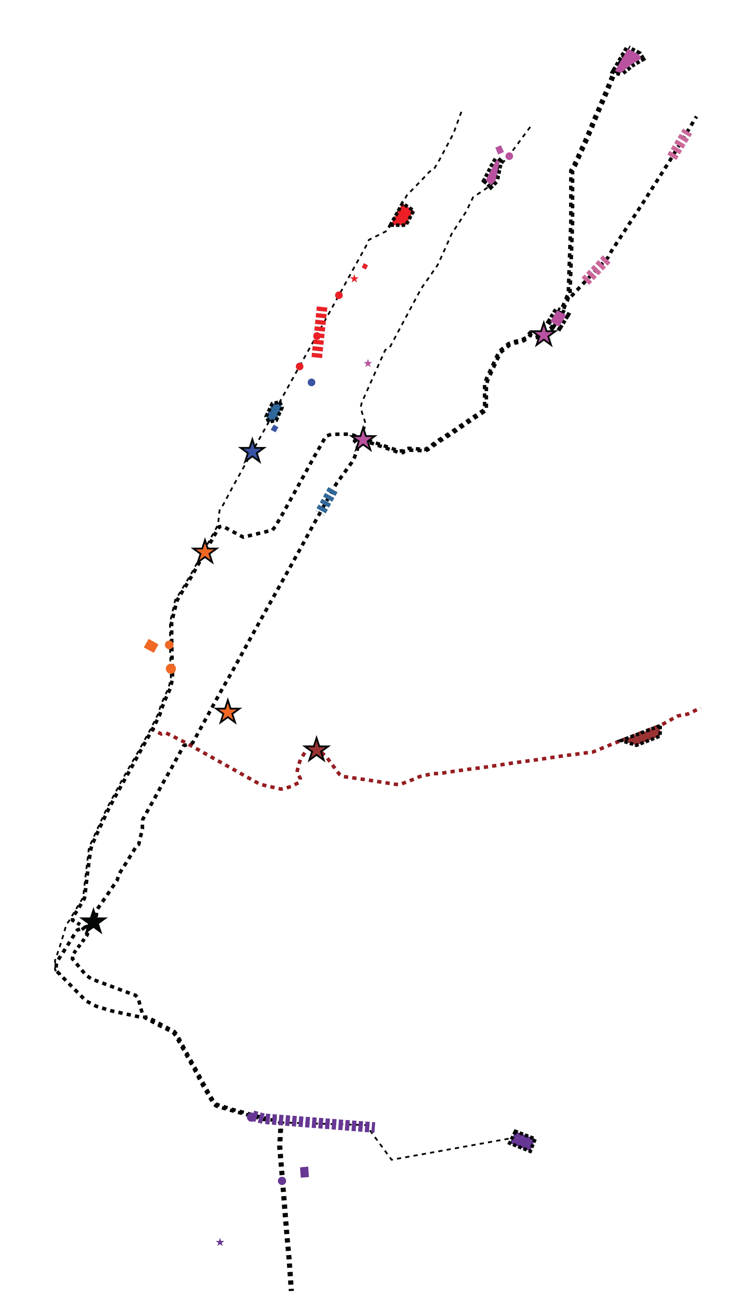
1, The birth of Graffiti City: TAKI 183's all-city coverage

3.1. Using subway lines as paths and primary connectors
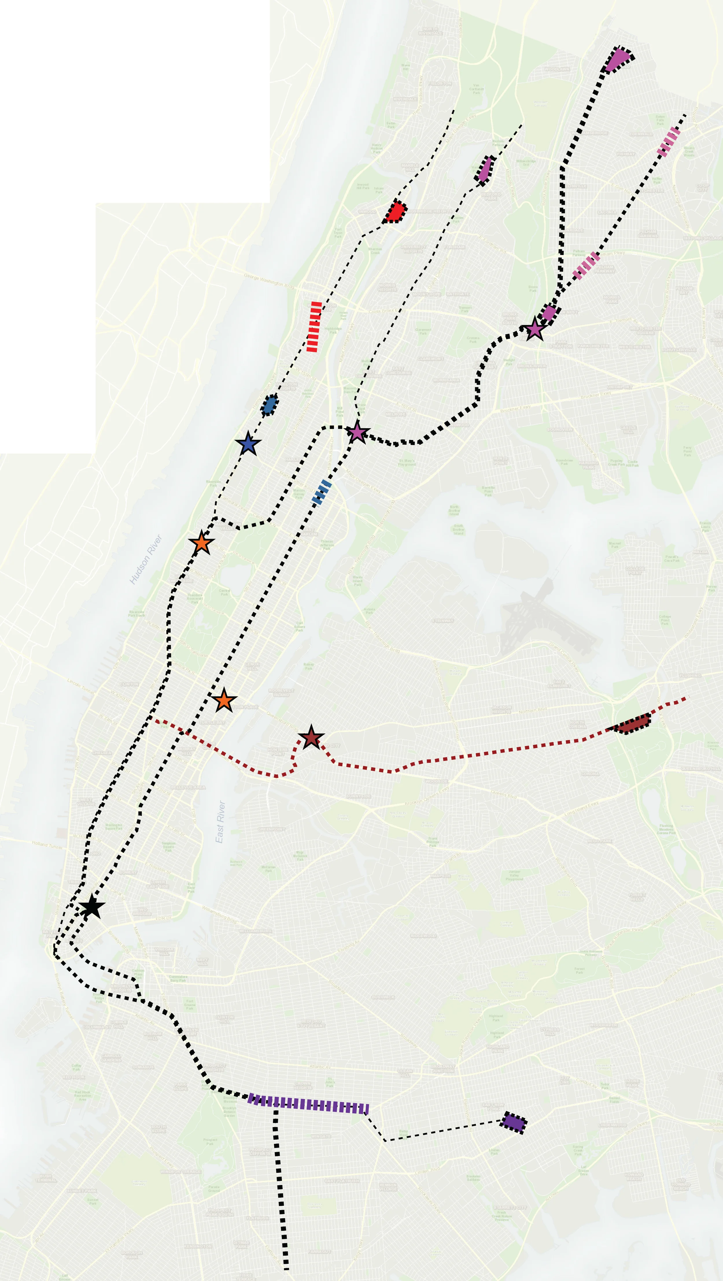
4. Yards, layups and stations form as new nodes on paths
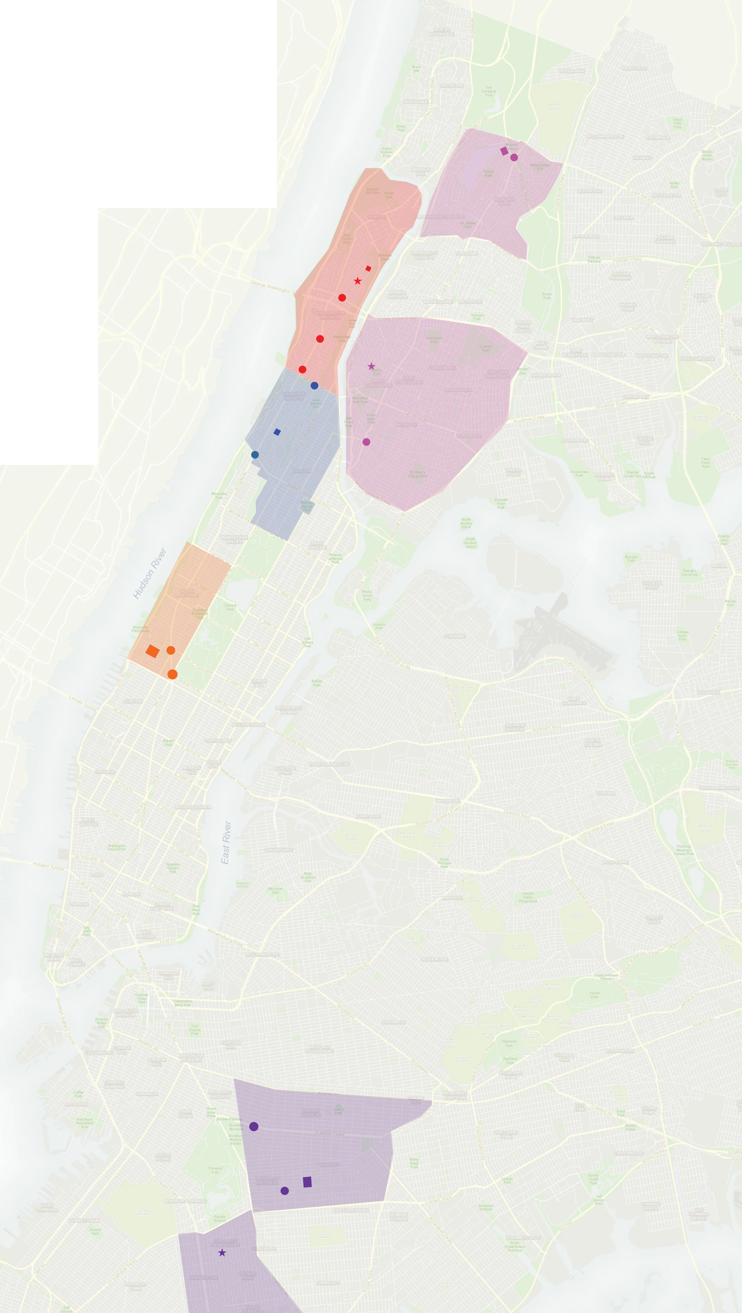
2. Graffiti City's initial districts, nodes and landmarks

3.2. Addition of Queens line to Graffiti City
5. Graffiti City